SCIENCE & RESEARCH
BUILDING A HIGH-RESOLUTION PICTURE OF THE SHORELINE
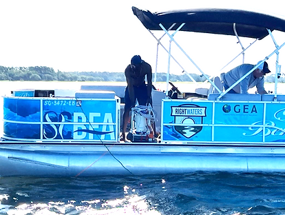
Effective shoreline design begins with understanding the shape of the land and seafloor. Topographic LiDAR and real-time kinematic GPS surveys map the shoreline at high resolution. Ping 3-D sonar extends that mapping underwater. Together, these data create a detailed surface from the channel, across the intertidal zone, and toward the upland.
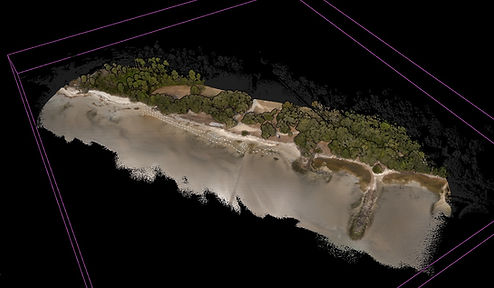

LIDAR Point Cloud colorized from aerial photography. Each point is a precisely located X,Y,Z data point.

Cross Section through LIDAR Point Cloud
at Elliots Beach


Measuring Waves and Currents
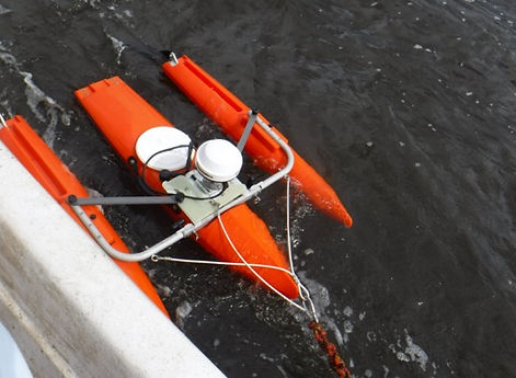
Site instrumentation characterize the forces that move water and sediment. Wave gauges, Acoustic Doppler Current Profilers, a SOFAR Ocean Spotter, and mobile survey platforms help document how conditions change with tides, winds, seasons, vessel wakes, and storms.
These measurements provide the field evidence needed both to understand erosion and to validate the numerical model.
Hydrodynamic Modeling
A high-resolution Delft3D model combines the mapped shoreline and seafloor with regional ocean, atmospheric, wave, current, river, and water-level drivers. Our researchers use the model to test design concepts before placing structures in the field.
The goal is to reduce damaging wave energy and erosive currents while preserving circulation and the movement of sediment that the shoreline needs to rebuild.
Baseline Studies
Erosional Forces
Waves and Currents
-
SOFAR Ocean Spotter
-
Teledyne Sentinel Workhorse
-
1200kHz ADCP Profiler (6 week deployments)
-
QPOD Remote Control Survey Platform Sonnet ADCP
-
Meter Hydros Shallow water wave gauge